Help
Start slide show
Full screen  
 
Home


Settings

Chase

Chase

Click to show or hide the buttons
  • OpenStreetMap
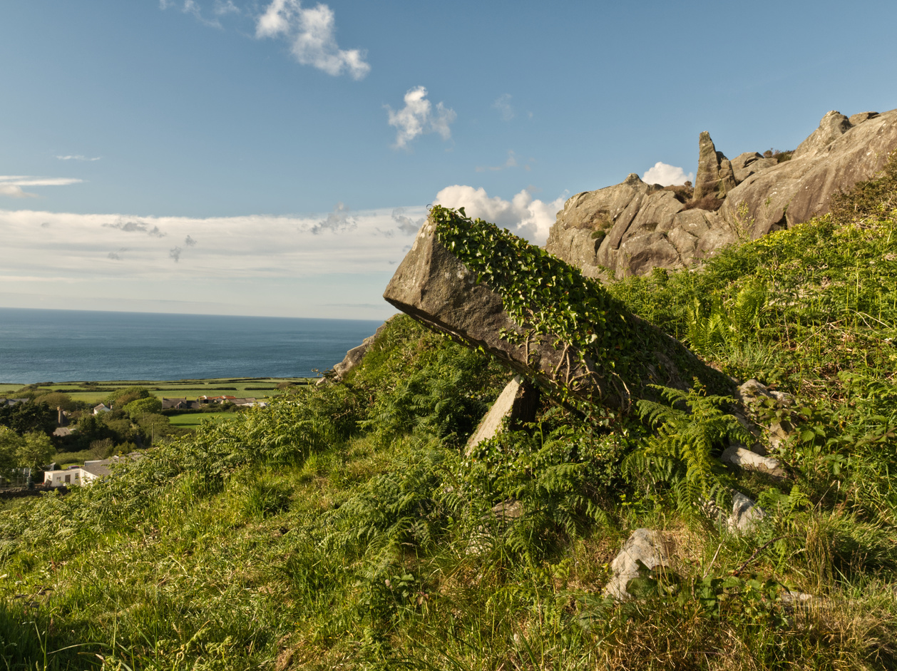
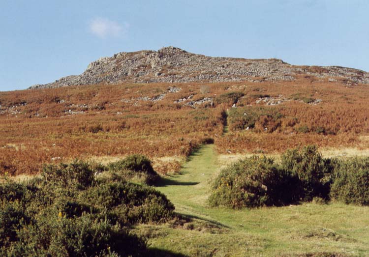
1 Carn Llidi<br>1 Carn Llidi 

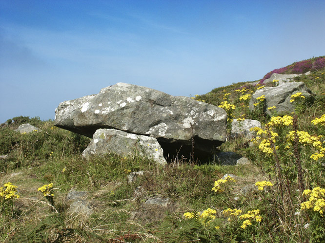
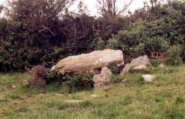
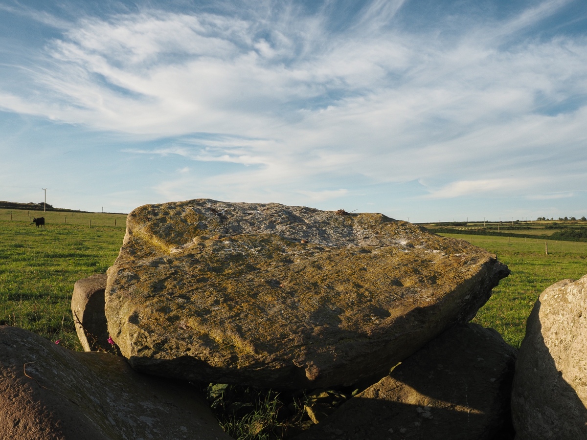
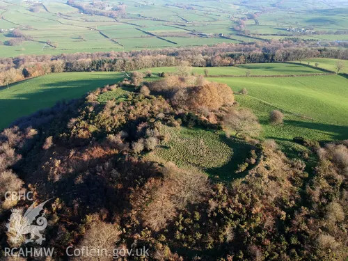
  Carn Llidi Chambered Tomb 2 clegyn Boia<br>2 clegyn Boia 

  Clegyr Boia 3 maen dewi<br>3 maen dewi


  Maen Dewi 4 Treffynnon<br>4 Treffynnon


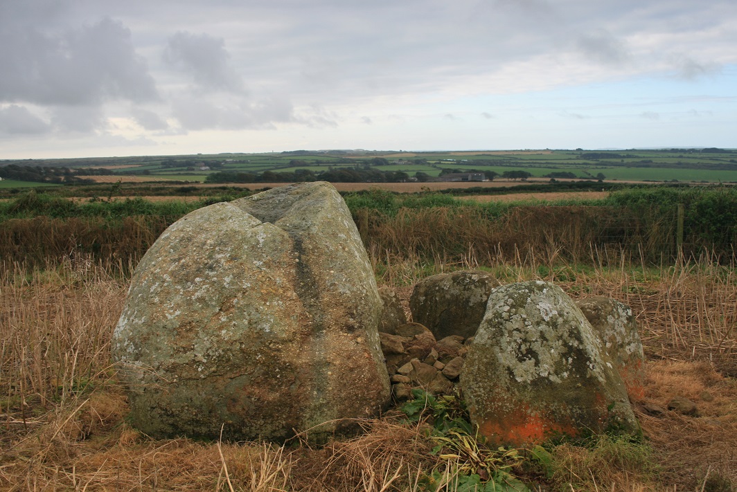
 Treffynnon – Chambered Tomb 5 Tremaenhir<br>5 Tremaenhir


 Tremaenhir Standing Stones 5a Treffynnon<br>5a Treffynnon
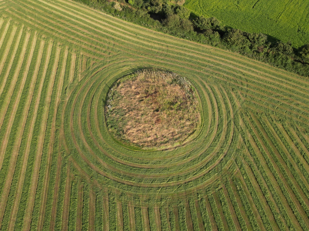
  

  Treffynnon Chambered Tomb 6 Garne Turn<br>6 Garne Turn


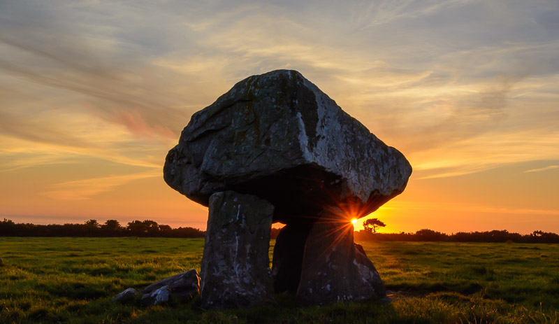
 Garn Turne Chambered Tomb 7 parc y llyn<br>7 parc y llyn


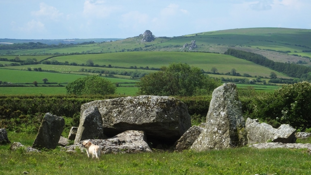
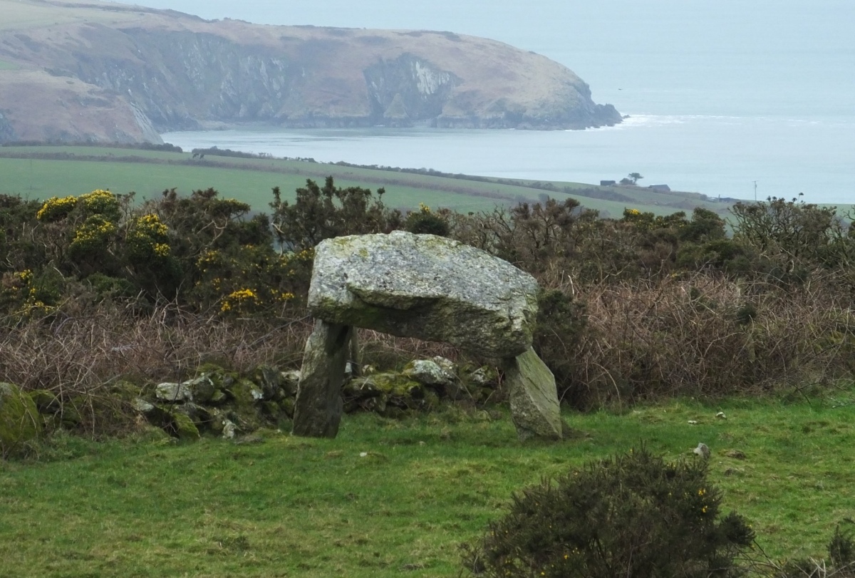
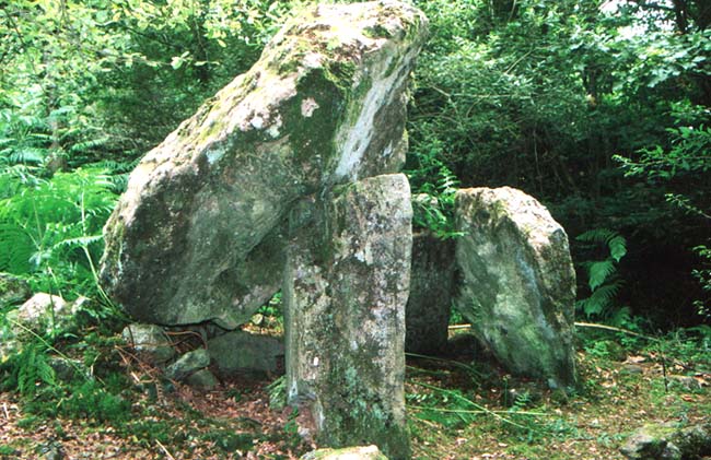
 Parc Y Llyn Burial Chamber 8 Ffyst Samson<br>8 Ffyst Samson


  Ffyst Samson Chambered Tomb 9 Gilfach Farm Standing Stone<br>9 Gilfach Farm Standing Stone


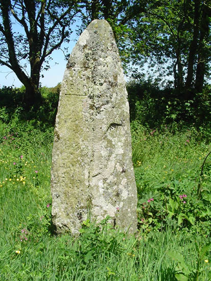
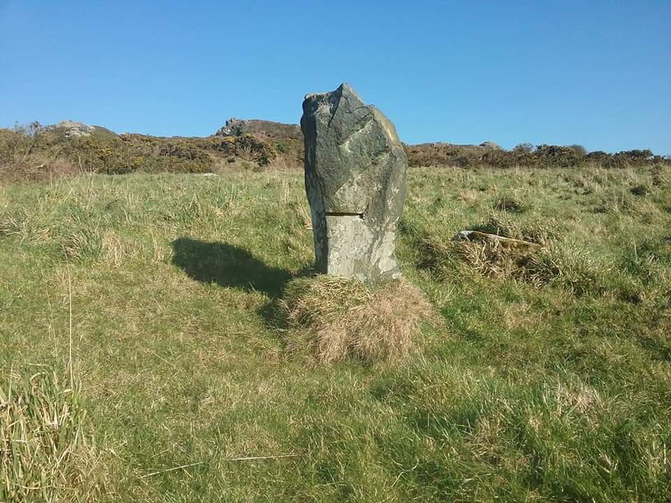
  Gilfach Farm Standing Stone 10 Carn Mnda<br>10 Carn Mnda


  Carn Wnda 11 Parc y Meirw<br>11 Parc y Meirw


  Parc y Meirw 12 Rhos y Clegyrn<br>12 Rhos y Clegyrn
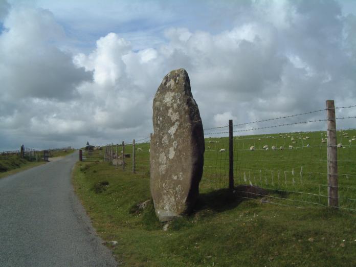
  

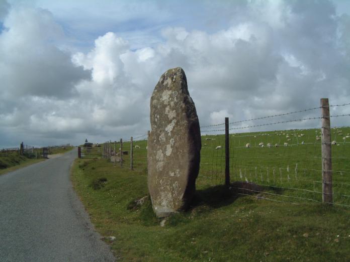
  Rhos y Clegyrn 14 Trellwyn fach Stone Pair<br>14 Trellwyn fach Stone Pair


  Trellwyn Fach Stone Pair 15 dinas cross<br>15 dinas cross


  Dinas Cross 16 BeddMorris<br>16 BeddMorris


  Bedd Morris 16a Parc y Meirw<br>16a Parc y Meirw


  Parc y Meirw Stone Row 17 LadyStone<br>17 LadyStone


  The Lady Stone 18 carreg coetan arthur<br>18 carreg coetan arthur


  Carreg Coetan Arthur 19  Trellyffaint Tomb<br>19  Trellyffaint Tomb


  Trellyffaint Tomb 20 trefael<br>20 trefael


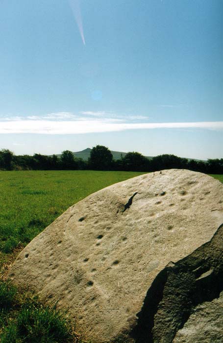
  Trefael Stone (Rock Art) 21 llech y Dribedd<br>21 llech y Dribedd


  Llech-y-Dribedd Dolmen Pantygroes<br>22 Pantygroes
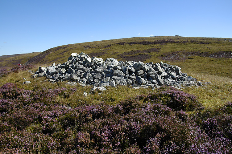
  

Pantygroes BeddMorris<br>23 BeddMorris


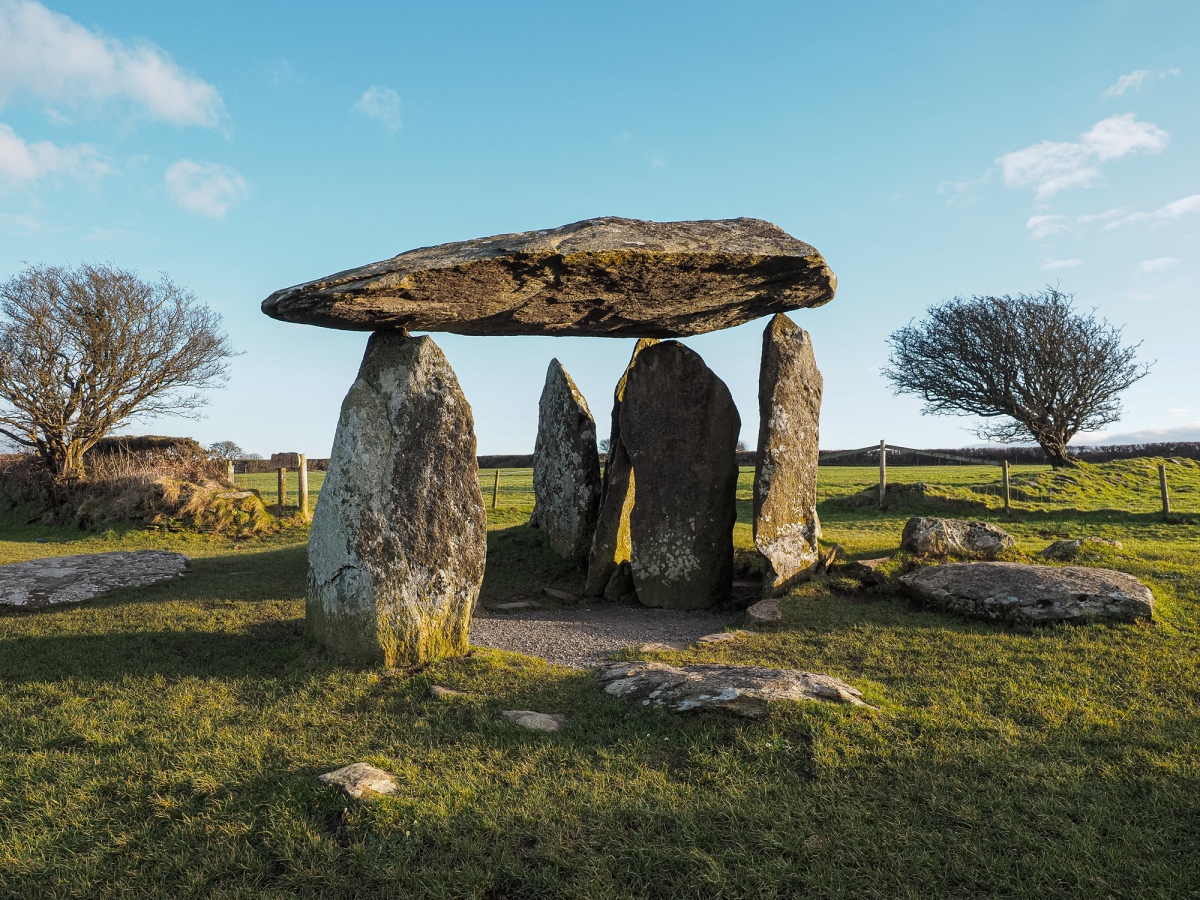
  Bedd Morris Standing Stone Pentre Ifan tomb<br>24 Pentre Ifan tomb


  Pentre Ifan Portal Tomb Penfeidr Coedan Stone<br>24a Penfeidr Coedan Stone


  Penfeidr Coedan Standing Stone Penlan Stone pair<br>25 Penlan Stone pair


  Penlan Stone Pair Bedd yr Afanc<br>26 Bedd yr Afanc


  Bedd yr Afanc Passage Grave Carn Alw<br>27 Carn Alw


  Carn Alw Settlement Banc Llwydlos<br>28 Banc Llwydlos


  Banc Llwydlos Settlement TafarnyBwlch<br>29 TafarnyBwlch


  Tafarn-y-Bwlch (Waun Mawn) Standing Stones Dyffryn<br>30 Dyffryn


 Dyffryn  (Cairn and Settlement Complex) Maenclochog Standing Stones<br>30a Maenclochog Standing Stones


  Maenclochog Standing Stones Budloy<br>31 Budloy


  Budloy Stone (Henry’s Moat) prysgfarm<br>32 prysgfarm


prysg farm  Standing Stone Glynsaithmaen<br>32a Glynsaithmaen


  Glynsaithmaen SW Standing Stone Cerrig Meibion Arthur<br>33 Cerrig Meibion Arthur


Cerrig Meibion Arthur Glandy Cross Tumulus<br>34 Glandy Cross Tumulus


  Glandy Cross Tumulus Barrow Cemetery Gors Fawr Stone Circle<br>35 Gors Fawr Stone Circle


  Gors Fawr Stone Circle Bedd Arthur.<br>35a Bedd Arthur.


  Bedd Arthur Stone Circle Dolaumaen Standing Stone<br>36 Dolaumaen Standing Stone


  Dolaumaen Standing Stone Carn Ingli Mountain Fort<br>37 Carn Ingli Mountain Fort


  Carn Ingli Hillfort Pantyrodyn<br>40 Pantyrodyn


Pantyrodyn Gwaly Filiast<br>41 Gwaly Filiast Cefn Brafle<br>42 Cefn Brafle


Cefn Brafle cross stones<br>42a Cross Stones


  Cross Stones, Llanddowror Llanddowror Standing stone<br>42b Llanddowror Standing stone


Llanddowror Standing stone Llan Chambered Tomb<br>43 Llan Chambered Tomb


  Llan Chambered Tomb Belle Vue<br>44 Belle Vue


  Belle Vue (Parc-y-Garreg) Standing Stone Newhouse Barrows<br>45 Newhouse Barrows


  Newhouse Barrows Crug Swllt<br>46 Crug Swllt


  Crug Swllt Round Barrow Vaynor Farm Henge<br>47 Vaynor Farm Henge


  Vaynor Farm Henge Gors Llangynog standing stone<br>48 Gors Llangynog standing stone


  Gors Llangynog Standing Stones Twlc y Filiast burial chamber<br>49 Twlc y Filiast burial chamber


  Twlc y Filiast Chambered Tomb Myrddins Quoit<br>50 Myrddins Quoit


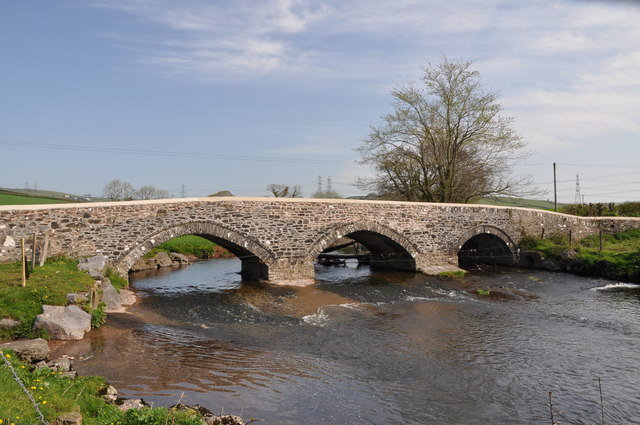
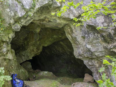
  Myrddin’s Quoits Chambered Tomb Meini Llwydion chambered tomb<br>Meini Llwydion chambered tomb Iscoed standing stone<br>Iscoed standing stone GWENDREATH FACH BRIDGE vale of Tun<br>GWENDREATH FACH BRIDGE vale of Tun GARREG FAWR<br>GARREG FAWR Mynydd Llanyynderyrn<br>Mynydd Llanyynderyrn Gwempa<br>Gwempa Maen Llwyd<br>Maen Llwyd Mynydd Llanyynderyrn Ring Cairn<br>Mynydd Llanyynderyrn Mynydd Llangynderyrn Burial Chambers<br>Mynydd Llangynderyrn Burial Chambers Arthurs Table burial chamber<br>Arthurs Table burial chamber Brynmaen Standing Stone<br>Brynmaen Standing Stone Bryn Y Rhyd<br>Bryn Y Rhyd Ffynon Gwenlais<br>Ffynon Gwenlais Druids Crag Cave<br>Druids Crag Cave

Craig Derwyddon; Pant-y-llyn

Primary Reference Number (PRN) : 815

Trust : Dyfed

Community : Llanfihangel Aberbythych

Unitary authority : Carmarthenshire

NGR : SN6053116727

Site Type (preferred type first) : PREHISTORIC CAVE OCCUPATION

Status : Site of Special Scientific Interest


Summary :

Cave partially damaged by quarrying in which human skeletons were said to have been discovered along with faunal remains of elk and wild boar, during the early nineteenth-century. Further bones and an iron artefact were discovered from the cave in the early 1980s and a bear tooth was found in 1985.


MB 31.07.17


Description :

The cave site was visited in Feb 2019 but only one cave entrance could be found (referred to as cave 2 on the ogof.org.uk website.

The small entrace was located next to the public footpath. Its opening was approximately 0.5m wide and 1.0m high. The cave is narrow and inclines steeply downwards. The floor is covered in foliage and probably hides sediment which may conceal archaeological deposits. The cave extends at least 6m back. It is probably well visited as it is conveniently located on a public footpath making it easily accessible.

CE Feb 2019


The cave was visited by Barton and Collcutt as part of their cave survey in 1986. The site has no exact name. It is more properly called Pant-y-llyn cave but this may refer to several cave remnants throughout the disused quarry. The cave has almost been completely destroyed by quarrying. See survey report for photos. CE 27/07/18


Human bones found at Pantyllyn or Craig-y-Derwyddon caves in the 19th century. Wild boar and elk teeth were also found.


Limestone cave system in which a quantity of human bone was recorded in the last century. Undated, but probably prehistoric? A highly doubtful early medieval attribution has also been proposed, but there is no current evidence for an early medieval date. NDL 2003


The cave was discovered by quarrymen in 1813 during blasting of the limestone outcrop. Twelve skeletons were said to have been found together with the bones of elk and wild boar. The human bones and faunal remains were said to have been reburied in the cave whilst one skull was given the Dean William Buckland who is alleged to have deposited the skull in the Ashmolean Museum in Oxford.

Writing in 1893, a local historian attempted to debunk the myths associated with this find, and to locate the extant deposits of this cave (Stepney-Gulston, 1893). He ascertained that the remainder of the bone assemblage had been deposited at the mouth of the cave and had since been buried by quarry waste.

The choked entrance to the cave was rediscovered in 1962 but was not pursued again until the early 1980's when the new land owner began to dig out the choked passage. Bones and an iron implement were recovered from these diggings and the efforts were made by the NMW to remove some of the quarry debris to reveal blocked entrances but to no avail. The southern end of the quarry was partially surveyed by DAT in 1983 and a length of former cave passage was identified in the quarry face (Murphy, 1983).

The landowner continued to excavated the choked passage revealing more faunal remains and invited Mel Davies to identify the assemblage. In between the further extension of the passage, the entrance was noticed by two school boys who entered and recovered what was later identified as being a bear molar from a deposit of bones within the cave passage (Davies, 1985). The remains of recently deceased dogs, badgers and birds were discovered. The presence of the bear molar presented a problem of taphonomy and it was concluded that it must have derived from a higher level in the choke which was dominated by stalagmites and clearly of some age. This area was briefly searched for further remains but to no avail although it was considered possible that further remains may have been buried by the sandy sediments on the floor of the chamber. Davies and a small party continued to push the passage which measured around 600ft in length with only one main passage. Off-shoots from the passage were not surveyed (Davies, 1985).


MB 31.07.17


Writing in 1990 Tony Oldham describes the caves connections to local lore concerning links to King Arthur and Owain Llawgoch and includes a sketch of the situation of the skeletons found during the early 19th century (Oldham, 1990: 52). Oldham also describes the entrances and passages of the cave in great detail prior to the proposed recommencement of quarrying in 1992, and provides an extensive bibliography. This appears to be the most recent description of the cave and it is likely that it has been greatly impacted by recent quarrying.


Presumed damaged if not destroyed. Site not visited.


MB 24.08.17

Sources :

, Cambrian Cave Registry ( © )

Anwyl , 1907 , The early settlers of Carmarthen , Archaeologia Cambrensis : 7 : 361-388

Buckland, W , 1822 , Account of an assemblage of fossil teeth and bones of elephant, rhinoceros, hippopotamus, bear, tiger and hyaena and sixteen other animals discovered in a cave at Kirkdale, Yorkshire in the year 1821 with comparative view of five similar caverns in vario , Philosophical Transactions of the Royal Society of London : 112 : 171-236

Chamberlain, Andrew T. , 2017 , GAZETTEER OF CAVES, FISSURES AND ROCK SHELTERS IN WALES, CONTAINING HUMAN REMAINS ( © )

Davies, M , 1985 , Ogof Pant-y-Llyn: a new extension , South Wales Caving Club Newsletter : 99 : 26 - 28 ( © )

Jones, K , 1984 , Ogof Pant-y-Llyn , Isca Caving Club Journal : 2 : 14-36

Murphy, K , 1983 , Pant-Y-Llyn Bone Caves , Archaeology in Wales : 23 : 11

Oldham, T , 1990 , The Caves of Carmarthen: Part 3

R N E Barton & S N Collcutt , 1986 , A Survey of English and Welsh Palaeolithic Cave Sites

RCAHMW , 1917 , Inventory of the County of Carmarthenshire

Stepney-Gulston, A , 1893 , The Pant-y-Llyn bone caves , Archaeologia Cambrensis : 10 : 163-167 ( © )

Stratford, T , 1986 , Caves of South Wales

, 1893 , Archaeologia Cambrensis ,

, 1894 , Archaeologia Cambrensis ,

, 1912-13 , Transactions of the Carmarthenshire Antiquarian Society ,

, 1988 , Detailed Record File ,

, 1991 , Campaign for the Protection of the Gwenlais Valley ,

Anwyl,E , 1907 , Archaeologia Cambrensis ,

Campbell,JB , 1977 , Upper Palaeo Britain ,

DAT , 1983 , Archaeology in Wales ,

DAT , 1984 , SMR ,

DAT , 1985 , Working File ,

Eyre-Evans,G , 1923-4 , Transactions of the Carmarthenshire Antiquarian Society ,

Griffiths,WE , BA Finds,Carm ,

Independent , 1989 , Welsh valley's fight to keep quarrying at bay goes to court ,

LLoyd,JE (ed) , 1935 , History of Carmarthenshire ,

Many , 1989 ,

Ordnance Survey , 1968 ,

RCAHM , 1917 , Inventory of the County of Carmarthenshire ,

Stepney-Gulston,A , 1893 , Archaeologia Cambrensis ,

Western Mail , 1990 , Developers Cut Quarry Application ,


Events :

65485 : CRAIG DERWYDDON;PANT-Y-LLYN, FIELD OBSERVATION, 1968 (year : 1968)

84868 : CRAIG DERWYDDON;PANT-Y-LLYN, PARTIAL SURVEY, 1983 (year : 1983)

110480 : Caves Scheduling Enhancement Programme 2017 (year : 2017)

114183 : Caves Scheduling Enhancement Programme: 2017-19 Caves in South West Wales (Phase 2) (year : 2018)


Related records

44753

Cambrian Cave Registry 1315


Compiled date : 01-01-1950 Pant y Llyn<br>Pant y Llyn Browns Hill<br>Browns Hill Penyrheolddu Ring Cairn<br>Penyrheolddu Ring Cairn Penyrheolddu Standing Stone<br>Penyrheolddu Standing Stone Pen-y-Coed Maen Hir<br>Pen-y-Coed Maen Hir Banc Crucorfod Round Cairn<br>Banc Crucorfod Round Cairn Tair Carn Isaf<br>Tair Carn Isaf Tair Carn Uchaf<br>Tair Carn Uchaf Cwmffrwd burnt mound<br>Cwmffrwd burnt mound

Primary Reference Number (PRN) : 7805

Trust : Dyfed

Community : Cwmamman

Unitary authority : Carmarthenshire

NGR : SN67711453

Site Type (preferred type first) : Prehistoric Burnt Mound

Status : NPBB


Summary :

A crescentic mound, adjacent to a stream, measuring 12.5m x 11m x 1.5m. It is a very fine example of a crescentic mound. Augering revealed dense burnt debris with little soil cover. JH based on GW 1995


Sources :

Griffiths, C , 2018 , The Archaeology of Bronze Age settlements in South Wales ( © )

Anwyl,E , 1907 , Arch.Camb ,

Cantrill,TC , 1906 , Arch.Camb ,

OS , 1977 ,

Rogers,J , 1977 ,

Williams,GH , 1994 ,

Williams,GH , 1995 , BM4.DBF ,


Events :

70582 : CWM-FFRWD;CWMFFRWD, FIELD OBSERVATION, 1994 (year : 1994)


Related records


Compiled date : 01-01-1950 Plasycoed cairns<br>Plasycoed cairns Deg Arbedd<br>Deg Arbedd maen gobaith<br>maen gobaith craig y fran<br>craig y fran Carn Fadog<br>Carn Fadog


  Carn Fadog Nant y Llyn<br>Nant y Llyn Banwen Gwys 1<br>Banwen Gwys


  Banwen Gwys 1 Banwen Gwys 2<br>Banwen Gwys


  Banwen Gwys 2 Pwll y Cig Cairn<br>Pwll y Cig Cairn


  Pwll-y-Cig Cairn Waun Fignen Felen<br>Waun Fignen Felen


  Waun Fignen Felen Carnaur Garreg Las<br>Carnaur Garreg Las


  Carnau’r Garreg Las Carn y Gigfran<br>Carn y Gigfran


  Carn y Gigfran Cerrig Duon Row<br>Cerrig Duon Row 


  Cerrig Duon Row Maen Mawr row<br>Maen Mawr row


  Maen Mawr Row Cerrig Duon compass stones<br>Cerrig Duon Compass stones


  Cerrig Duon Compass Stones Maen Lleuci.<br>Maen Lleuci. Picws Du<br>Picws Du


  Picws Du Fan Brycheiniog<br>Fan Brycheiniog Llyn y Fan Fawr stones<br>Llyn y Fan Fawr stones


  Llyn y Fan Fawr Stones Fan Foel Cairns<br>Fan Foel Cairns


  Fan Foel Cairns Rhyd Wen Fach<br>Rhyd Wen Fach


  Rhyd Wen Fach Sychnant Stone Circle<br>Sychnant Stone Circle


  Sychnant Stone Circle Waun Llwyd cairn<br>Waun Llwyd cairn


  Waun Llwyd Cairn Cwmothlwn Barrow<br>Cwmothlwn Barrow


  Cwmothlwn Barrow Arhosfar Garreg Lwyd<br>Arhosfar Garreg Lwyd


  Arhosfar Garreg Lwyd Troed Rhiw Wen standing stone<br>Troed Rhiw Wen standing stone


  Troed Rhiw Wen Standing Stone Bryn Elen round cairn<br>Bryn Elen round cairn


  Bryn Elen Round Cairn Arhosfar Garreg Llwyd Cairn<br>Arhosfar Garreg Llwyd Cairn


  Arhosfa’r Garreg-Lwyd Cairn Bylchau Blaenclydach Stone<br>Bylchau Blaenclydach Stone


  Bylchau Blaenclydach Stone Bryn Pwllgerwyn Cairn<br>Bryn Pwllgerwyn Cairn


  Bryn Pwllgerwyn Cairn Gwern Wyddog<br>Gwern Wyddog

  Gwern-Wyddog Standing Stone (Menhir) Mynydd Myddfai Stones<br>Mynydd Myddfai Stones


      Megalithic Portal — Mynydd Myddfai Stones Pen Caenewydd Cairn<br>Pen Caenewydd Cairn


  Megalithic Portal — Pen Caenewydd Cairn Carn Pant Meddygon<br>Carn Pant Meddygon

  Carn Pant Meddygon - Round Barrow(s) Pen Cae Newydd Standing Stone<br>Pen Cae Newydd Standing Stone

  Pen Cae Newydd Standing Stone (possible) Pen Caenewydd Cairn 1 and 2<br>Pen Caenewydd Cairn 1 and 2

  Pen Caenewydd Cairn (1 & 2) - Cairn Cwm Henwen<br>Cwm Henwen 

  Cwm Henwen — Standing Stone (Menhir) Monksfield Tumuli<br>Monksfield Tumuli

  Monksfield Tumuli - Cairn Ffynnon y Wern<br>  Ffynnon y Wern — Holy Well or Sacred Spring Pen Hill<br>Pen Hill

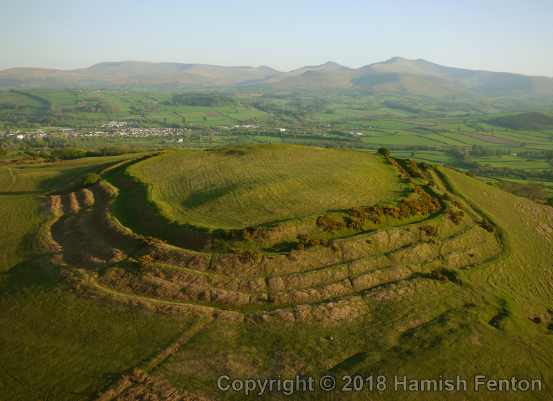
  Pen Hill Defended Enclosure — Hillfort Pen Y Gaer<br>Pen Y Gaer Cefn Crug Iron Age Fort<br>Site Name: Cefn Crug Iron Age Defended enclosure

Country: Wales County: Carmarthenshire (Sir Caerfyrddin) Type: Hillfort

Nearest Town: Llandovery

Map Ref: SN786355

Latitude: 52.004621N  Longitude: 3.769985W

Condition: 2 Ambience: 4 Access: 3 Accuracy: 5

A bivalate, hill top defended enclosure over looking the Town of Llandovery. Coflein is correct in suggesting that it is best seen from the air for on the ground it is difficult to identify the features. Allt ynys-y-Bordeau Stone Circle<br>Allt ynys-y-Bordeau Stone Circle Ynys Y Borde Earthwork<br>Ynys Y Borde Earthwork Blaen Clydach Fach Cairn 1<br>Blaen Clydach Fach Cairn 1 Blaen Clydach Fach Cairn 2<br>Blaen Clydach Fach Cairn 2 Tyle Mawr<br>Tyle Mawr Varlen Cairn<br>Varlen Cairn Coed Gibraltar<br>Site Name: Coed Gibraltar

Country: Wales County: Powys Type: Promontory Fort / Cliff Castle

Nearest Town: Sennybridge

Map Ref: SN92622954

Latitude: 51.953948N  Longitude: 3.56396W

Condition: 3 Ambience: 4 Access: 4 Accuracy: 5

An Iron Age Hiil fort in a bend of the River Usk. Approximately 100 yards across and 100' high. Damaged by the abandonded construction of a railway line in the 19th. Century. The roughly pear-shaped hill is now covered in juvenile, commercial forestry. Twyn y Gaer<br>Twyn y Gaer Y Gaer Roman Fort<br>Y Gaer Roman Fort Coed Fenn Fach<br>Site Name: Coed Fenn-Fach

Country: Wales County: Powys Type: Hillfort

Nearest Town: Brecon  Nearest Village: Llanspyddid

Map Ref: SO014294  Landranger Map Number: 160

Latitude: 51.954317N  Longitude: 3.436202W

Condition: 2 Ambience: no data Access: 3 Accuracy: 5 PEN Y CRUG HILL FORT<br>PEN Y CRUG HILL FORT Slwch Camp<br>Slwch Camp Llanhamlach Standing Stone<br>Llanhamlach Standing Stone Ty Illtyd<br>Ty Illtyd Gilestone<br>Gilestone AlltYrYscrin<br>AlltYrYscrin Bwlch Standing Stone<br>Bwlch Standing Stone Bwlch Ring Cairn<br>Bwlch Ring Cairn Llwyn Y Fedwen<br>Llwyn Y Fedwen Tretower<br>Tretower Penmyarth SS<br>Penmyarth SS Gwernvale<br>Gwernvale Llangenny Camp<br>Llangenny Camp Great Oak Stone<br>Great Oak Stone CwrtyGollen<br>CwrtyGollen Ysgyryd Fawr<br>Ysgyryd Fawr Garway Hill<br>Garway Hill Garway Holywell<br>Garway Holywell St Ffraeds Well<br>St Ffraeds Well Cup Stone on Mill Hill<br>Site Name: Cup Stone on Mill Hill

Country: England County: Gloucestershire Type: Rock Art

 Nearest Village: Brockweir

Map Ref: SO545014

Latitude: 51.709479N  Longitude: 2.659906W

Condition: 4 Ambience: 4 Access: 4 Accuracy: 5

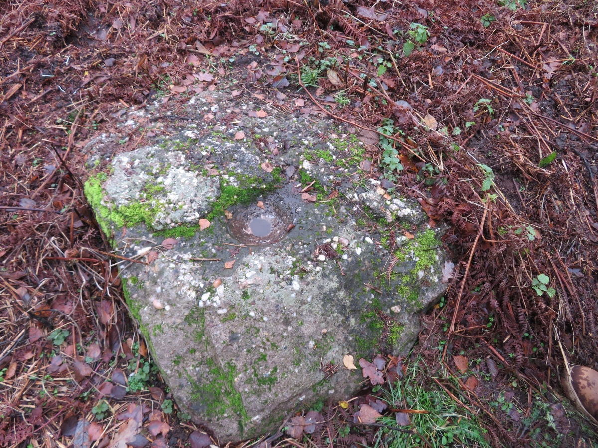
This is a cup or bowl stone possibly used for grinding corn before there was a mill on Mill Hill near Brockweir I have known about this stone for many years having been told about it by Toby Groves, the person who discovered it


Here is an excerpt from the book "The Archeology and history of Ancient Dean an The Wye Valley" by Brian Walters first published in 1992. Page 35. in which it is mentioned. "Recent field work by Brian Johns has identified several cup marked and incised groove stones in Dean. The first to be found were in Blakeney Hill woods where one had been incorporated into a later stone structure while two others lay nearby. Three more were found on Broom Hill near an ancient trackway and not far from the "Drummer Boy Stone", itself hollowed out. Other rocks with incised grooves were found near the above sites. Examples are now in the nearby Dean Heritage Museum. A further cup-stone was noted by Toby Groves in a field near Abbot's Mill, Brockweir, although it was more bowl than cup-shaped being 18cm in diameter and over 7cm deep." Tintern 1<br>Tintern 1 Tintern 2<br>Tintern 2 Offas Dyke near Brockweir<br>Offas Dyke near Brockweir Blackfield Wood<br>Blackfield Wood Offas Dyke at Tidenham Chase<br>Offas Dyke at Tidenham Chase Spital Meend Camp - 6 - Outer E bank looking NNE<br>Spital Meend Camp - 6 - Outer E bank looking NNE Pierce Wood<br>Pierce Wood Pierce Wood 2<br>Pierce Wood 2 Piercefield Park Stone<br>Piercefield Park Stone The Bulwarks<br>The Bulwarks Thornwell Farm<br>Thornwell Farm Thornwell Round Barrow<br>Thornwell Round Barrow GARTH GRUGYN<br>GARTH GRUGYN (aka Pen y Castell hillfort)


  Llanilar (Pen-Y-Castell) Hillfort


  Pen-y-Castell Hillfort (Coflein)


  Pen-y-Castell (Gatehouse Gazetteer)


  King, D.J.C., 1983, Castellarium Anglicanum (London: Kraus) Vol. 1 p. 46 Porttclais<br>Porthclais MYNYW<br>MYNYW GLYN NYFER<br>GLYN NYFER CWM CERWYN<br>CWM CERWYN DAU GLEDDAU<br>DAU GLEDDAU PENLUNIAWG<br>PENLUNIAWG ABER TYWI<br>ABER TYWI GLYN YSTUN<br>GLYN YSTUN LLYCHWR<br>LLYCHWR MYNDD AMANW<br>MYNDD AMANW DYFFRYN AMANW<br>DYFFRYN AMANW LLWCH TAWY<br>LLWCH TAWY DIN TYWI<br>DIN TYWI YSTRAD YW<br>YSTRAD YW EWIAS<br>EWIAS ABER HAFREN<br>ABER HAFREN
jAlbum web gallery software
jAlbum + PhotoSwipe
 
Close Help  
Slide display time:
Use full screen for a picture:
Close Email this Facebook Pinterest Twitter WhatsApp
Close
Close